NEW Pixel Watch 5 - Initial Scientific Review!
In a Nutshell
The Pixel Watch 5's key innovation is a server-based GPS correction system that uses 3D maps, ray tracing, and atmospheric data to fix satellite signal errors, achieving up to 2x accuracy improvement in challenging environments. Testing showed GPS performance comparable to Garmin devices with strong consistency, while heart rate tracking matched the Pixel Watch 4 at 0.98-0.99 correlation with chest strap references. New health features including insulin resistance and blood pressure trend tracking are coming September 2026 to previous models, alongside improved workout planning and sleep automation tools.
These notes were generated by AI and may contain inaccuracies.
The new Pixel Watch 5 features major GPS tracking performance improvements. Google now uses 3D maps of the environment, atmospheric information, reference stations on the ground, and a technique similar to ray tracing to improve recorded routes. The system determines which satellite signals reached the watch directly versus those delayed by the atmosphere or bounced off buildings. Google claims this makes route mapping up to two times more accurate in difficult environments compared to the Pixel Watch 4.
The review will measure GPS consistency, examine how aggressively recorded tracks are smoothed, and compare the Pixel Watch 5 against Garmin, Apple, Chorus, Soon to Polar, and other devices. Heart rate tracking accuracy will also be evaluated during running and cycling outdoors. This is an independent review - Google supplied information and the device but does not control testing or conclusions.
The Pixel Watch 5 comes in 41mm and 45mm versions. Both sizes were unboxed and tested. The device has a faster processor, more storage, faster charging, and different battery life depending on size. The charger connects on the side, allowing the watch to function as a desk clock while charging.
The main GPS upgrade involves how Google corrects recorded data. Satellite signals can bounce off buildings, cliffs, or trees, or be delayed by the atmosphere, causing routes to wander or cut through buildings. Google uses 3D models, ray tracing, atmospheric data, and ground-based reference stations to identify errors and reconstruct more accurate routes.
The 3D model identifies buildings, cliffs, and large obstacles. Ray tracing models possible signal paths and identifies less trustworthy bounced signals. Atmospheric data estimates signal delays, while ground-based reference stations provide known accurate positions to correct satellite data. This correction happens retrospectively on Google servers, not live on the watch.
This system is not road snapping - Google does not force routes onto known roads or trails. The method uses surrounding environment shape to correct satellite measurements and should work on trails, in mountains, and anywhere without mapped roads. The final route shown in the app may differ from the live view. Pace and speed calculations remain separate, using stepping frequency, compass, and other data rather than just GPS.
If Google's 3D model of an area is outdated, it could theoretically make incorrect adjustments. This situation will likely be the exception rather than the rule, but could occasionally lead to unusual results.
The Pixel Watch 5 introduces insulin resistance tracking, though this feature is not exclusive to the new model. The feature combines existing heart rate and activity data to estimate whether insulin resistance is trending higher or lower over an entire month. This is not a continuous glucose monitor or diabetes test. The feature is planned for September 2026 and will come to Pixel Watch 3, Pixel Watch 4, and Fitbit Air devices.
Blood pressure monitoring tracks trends rather than providing on-demand systolic and diastolic readings. The system uses existing blood flow and motion sensors to study pulse shape and timing, looking for consistent monthly changes rather than day-to-day variation. Concerning results should prompt checking with an actual blood pressure cuff. This feature is also planned for September 2026 and will come to Pixel Watch 3, Pixel Watch 4, and selected Fitbit devices.
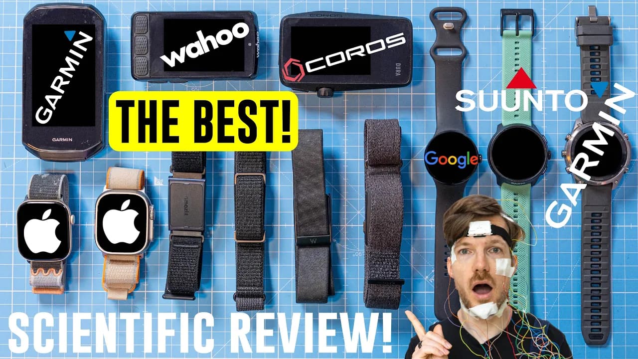
Testing occurred in Berlin with multiple devices: Pixel Watch 5, Apple Watch Ultra 3, Garmin Forerunner 970, Soon to Race 2, Polar Vantage V3, Coral Space Pro, and phone using Polar Beat app. Testing included both the reviewer and a Google employee wearing devices simultaneously.
For cycling consistency testing, the phone with Polar Beat app performed best, followed by Apple Watch Ultra 3, then Pixel Watch 5, Garmin, Soon to, Polar Vantage V3, and Coral Space Pro. Apple Watch showed the highest smoothing index, potentially over-smoothing corners. Pixel Watch 5 performed well for cycling with moderate smoothing and good consistency.
Visual GPS track analysis showed Pixel Watch 5 routes staying close to expected paths with consistent results between the reviewer and Google employee. Apple Watch tracks appeared smoother but sometimes over-smoothed corners. Garmin Forerunner 970, Soon to Race 2, and Coral Space Pro showed decent performance but had instances where routes went through buildings.
For running, Garmin Forerunner 970 slightly outperformed Pixel Watch 5, followed by the phone. Coral Space Pro performed similarly to these top performers. Soon to Race 2 struggled more than expected. Apple Watch had significant problems with GPS tracking during running tests.
Running track analysis revealed Pixel Watch 5 generally performed well but had issues in one area under bridge pillars where the 3D model appeared incorrect, placing the runner in water rather than under the structure. Garmin correctly tracked going under the first section but incorrectly placed the runner under a different section. Both devices struggled in this specific area but performed similarly elsewhere.
Garmin struggled slightly more than the Pixel Watch 5 in certain areas, but the differences were not as significant as the Pixel Watch 5's performance issues. The Sunundu Race 2 performed correctly in the same area where the Pixel Watch 5 had problems. The Pace Pro also struggled during water crossings before catching up again. The Apple Watch Ultra 3 showed major tracking issues, with data scattered across the map rather than following the actual path.
The Apple Watch Ultra 3 displayed erratic tracking patterns that were clearly visible on the map overlay. The watch had to be reconnected before the test, and the run occurred after a reset. The user notes that this behavior is not normal for Apple devices, which typically show only smoothing issues rather than major tracking failures. The Apple Watch Ultra 3 data appears to be an outlier compared to typical performance.
The Pixel Watch 5's GPS correction performs well under bridges and in challenging environments. The device handles bridge crossings without major problems upon re-emerging, though some edge issues may occur. The 49er 970 also struggled when passing through walls, indicating both devices face challenges in different scenarios. The Pixel Watch 5 delivers good GPS performance overall, though specific areas show room for improvement.
Google states that the heart rate tracking hardware on the Pixel Watch 5 is essentially identical to the Pixel Watch 4, with similar processing methods. Unlike GPS processing, heart rate tracking has not been presented as a major development area. The previous generation performed well in testing, and the Pixel Watch 5 is expected to deliver roughly the same performance. The reference device used for heart rate comparison is an ECG chest strap for accurate measurements.
The channel operates alongside a full-time scientific career, requiring payment for editor Alex and covering costs for testing devices and camera equipment. Support options include using a general Amazon affiliate link that can be bookmarked, specific affiliate links for devices like the Pixel Watch, and links providing maximum discounts for products like the Whoop Strap and ASleep Pod. Subscription and likes help viewers receive notifications about upcoming content including sleep stage tracking, heart rate tracking during different exercises, and additional GPS testing.
The 45-minute run showed heart rate measurements primarily between 125 and 160 BPM. The Pixel Watch 5 in red overlapped closely with the ECG chest strap reference in blue-green, detecting heart rate changes with only small deviations. The correlation coefficient for this single run was 0.99, indicating excellent agreement between the devices. Scatter plot analysis showed most data points clustered near the line of perfect agreement.
The zone 2 city bike ride showed heart rates ranging from 130 to 170 BPM. The Pixel Watch 5 again overlapped well with the reference device despite the narrow heart rate range. The correlation coefficient was 0.98 for this activity. This represents strong performance, as many devices struggle with outdoor biking heart rate tracking.
When compared to other tested devices, the Pixel Watch 5 ranked in the top 20% for biking with a correlation of 0.98 and in the top 25% for running with a correlation of 0.99. The device performed better than three out of four tested devices for running. This performance level matches the Pixel Watch 4, indicating no major changes in heart rate tracking capabilities between generations.
The Pixel Watch 5's GPS tracking performance is comparable to Garmin devices, which represents strong performance. Google achieved this through firmware-based corrections, while Garmin appears to rely more on raw data processing with less post-processing. These represent the first heart rate and GPS tracking results for the Pixel Watch 5, with a more detailed review planned.
The Pixel Watch 5 allows users to build strength and interval workouts in the Google Health app, including specifications for reps, weights, workout periods, and rest periods that sync to the watch. During workouts, the watch provides visual and audio guidance with the ability to adjust plans in real-time. Over 50 exercise types are supported, and a new key metrics view is available for post-workout performance review.
Sleep tracking now includes bedtime automations, an updated morning brief, and a monthly sleep breathing quality trend based partially on blood oxygen changes. The smart wake alarm wakes users within a 30-minute window before their desired wake time, targeting lighter sleep phases rather than deep sleep. Google optimizes the wake time to occur near the end of the 30-minute period while avoiding deep sleep interruptions.
A Gemini-powered health coach combines fitness, sleep, and recovery data to provide personalized suggestions. This feature requires a Google Health Premium subscription after the included trial period ends.
Safety features include safety check, emergency sharing, fall detection, car crash detection, and loss of pulse alerts. LTE models support satellite SOS in certain regions. A new breathing emergency feature automatically prompts emergency calls if the wearer becomes unresponsive and the watch detects continued oxygen level drops. The feature includes screen warnings before activation to allow cancellation, and Google states it should not trigger false positives from poor blood flow to extremities.
The Pixel Watch 5 uses the Snapdragon W5 Gen 2 platform, providing 20% faster processing and 64 GB of storage. It runs Wear OS 7, remains Android-only, and requires Android 12 or newer on connected phones. Both 41mm and 45mm sizes feature displays with up to 3,000 nits peak brightness, 5 ATM water resistance, and IP68 dust/water resistance ratings suitable for swimming and shallow water use.
Google claims 30 hours of battery life with always-on display for the 41mm model and up to 40 hours for the 45mm version. Battery saver mode extends this to 48 and 72 hours respectively. Both models can reach approximately 50% charge in 15 minutes using the included quick charge dock with a suitable 30W power adapter, though the adapter is not included in the box.
Actual battery life depends on GPS usage, display settings, LTE connectivity, and workout tracking intensity. The current review uses only Berlin trip data, with a more detailed review scheduled for release within one week.
Additional data from a Google employee running alongside showed both corrected and uncorrected Pixel Watch 5 tracking. The corrected version demonstrates improved consistency compared to the uncorrected data. Apple Watch Ultra 3 data from the same runner performed significantly better than the original test data, suggesting the initial Apple Watch results may have been anomalous.
The Pixel Watch 5 with correction shows performance similar to the Garmin 4970 in terms of consistency. When plotting consistency against smoothness metrics, all devices cluster in similar performance ranges. The Garmin 4970 shows slightly better smoothness than the Pixel Watch 5. Without correction, the Pixel Watch 5 performs significantly worse on consistency metrics.
The corrected Pixel Watch 5 data in red shows better accuracy than the uncorrected yellow data throughout most of the run, except in one area where 3D data issues may have caused correction problems. The corrected version appears more consistent and positioned correctly relative to the actual running path, especially in areas with tall buildings on both sides.
The bike ride data also shows improved consistency with the correction applied. The non-corrected version appears significantly less accurate than other Pixel Watch 5 results. The correction appears effective overall, though it remains difficult to confirm whether performance exceeds that of the Garmin 4970, particularly for running where the devices appear roughly equivalent.
Keep The Quantified Scientist in your library
Save the videos and channels worth coming back to, and find them again in one place.